Användarmeny
Hammaruddakortet
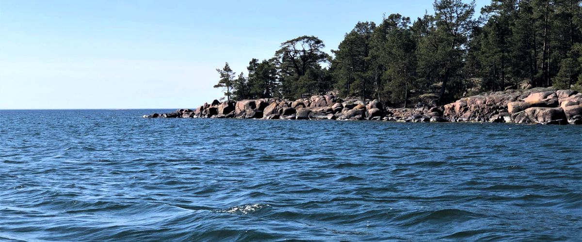
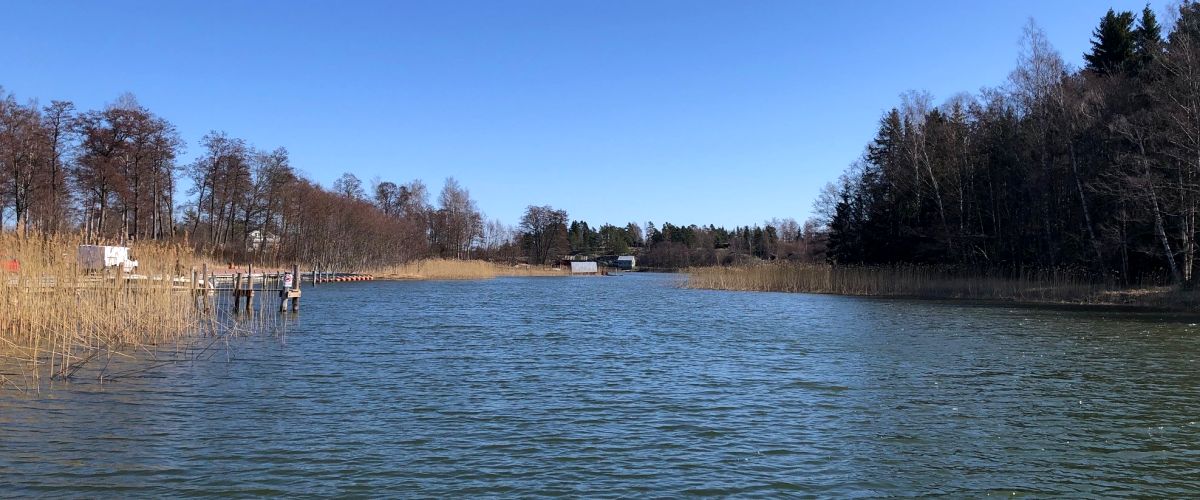
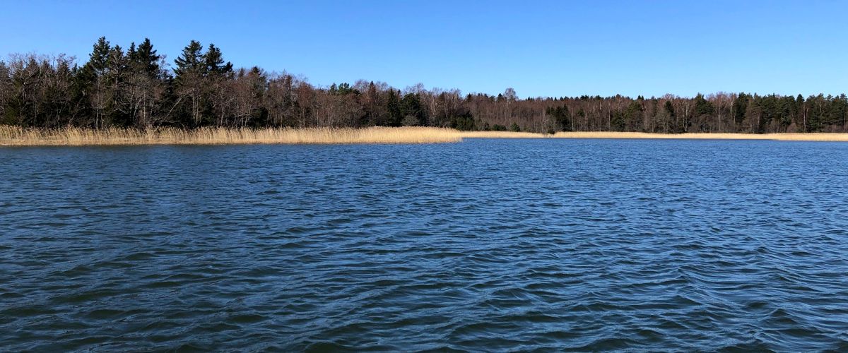
Hammarudda
The Hammarudda map covers a large part of Åland's southwest coast with a large sea trout area, shallow beaches and islets in a marine environment. The Hammarudda card is a large card consisting of several fishing card areas that have been developed for anglers.
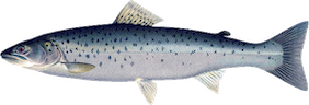
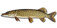
The fishing license is very suitable for trout fishing along the coast, salmon trolling in the sea belt and pike fishing in the inner bays. Large parts of the fishing license income go directly back to the planting of trout, which makes the area an eldorado for the trout fisherman. Pike fry from Ålands Fiskevårdscentrum are also planted out annually.
Trout fishing is most popular from October to May when the water is colder and the trout seek refuge near the shore. Trout fishing on a spring evening at sunset along Hammarudda's beautiful beaches is an unbeatable view!
See map for further information about the area.
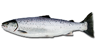
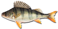
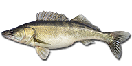
Fish species
Hammaruddakortet
Customer number: 1203, Area: 1204.Contact persons
Ulf Rundberg:
+358 4573134664
Fishing areas nearby Hammaruddakortet